 |
| Let's take a shot at describing the New Bedford/Fairhaven hurricane barrier. |
 |
| The barrier was built between 1962 and 1966. It cost 18 million dollars and change. Estimates claim that it has already prevented 24 million in damages, so it's running in the black for an eternity now. Other estimates put the savings at around 60 million dollars. |
 |
| New Bedford suffered mightily in the hurricanes of 1938, 1944 and 1954. The 1938 storm drove water 12.5 feet above the normal level. Much of New Bedford was under 8 feet of water. Two hurricanes hit in 1954, one producing a 11.9 foot surge that put New Betty under 6 feet of water... and then talk of building a wall started. |
 |
| The barrier also protects less urban Fairhaven. In all, it protects 14,000 acres of New Bedford, Acushnet and Fairhaven. |
 |
| The barrier protects 95,000 people in New Bedford, as well as New England's (and, accordingly, America's) most productive port. $368 million worth of seafood came in during 2011. |
 |
| "I be up in them guts like every day..." |
 |
| They block off the opening if the storm is bad enough. |
 |
| Also safe behind the barrier is Palmer's Island Lighthouse, which goes back to New Beffuh's whaling era. That's the best pic I can do with a phone, and I tried a half dozen times. |
 |
| You can only go so far out on the barrier before The Man puts the whammy on you. |
 |
| A little zooming work as the boat toots through the barrier, above and below... |
 |
| He was never seen again... |
 |
| At the back right of the photo, you can see that the barrier has her own artillery brigade to make sure that the Other Man doesn't try anything sneaky. The English hold particular animus toward New Beige, and have taken several cracks at her over the years. |
 |
| Here's the barrier hard at work protecting somebody's factory. |


 |
| Four quick shots of the barrier where it would close off Rodney French Boulevard. I'm not 100% sure how it works, and hopefully I won't have to find out. |
 |
| Guarding an apartment building and some triple deckers... |
 |
| Hurricane history section, built into the walkway. |
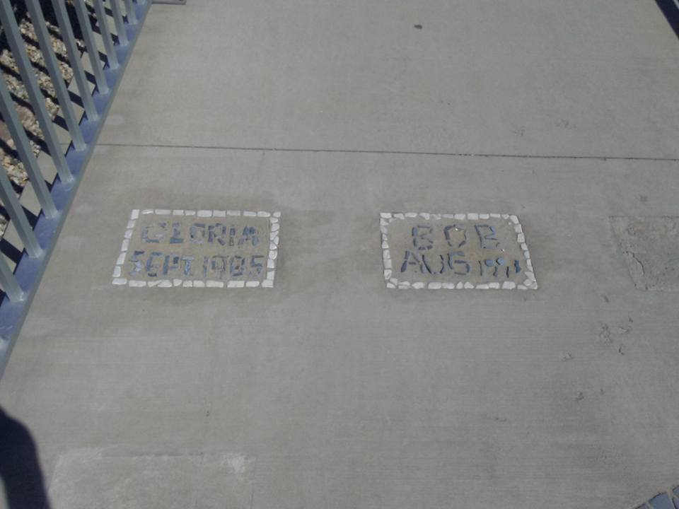 |
| Gloria in 1985 and Bob in 1991 couldn't get past the wall. That empty third spot is miiiiighty ominous, however... |
 |
| The hurricane barrier rocks.... noun or verb. |
 |
| The "Irish Battleship" reference used in Boston to describe triple-deckers (built, as P.J. O'Rourke once noted, "before they figured out that you can't stack poor people who drink") may be "Portuguese Battleship" in New Bedford. Hopefully someone can enlighten us in the comments. These battleships, whoever lives in them, might actually put out to sea in bad storms if the barrier wasn't there. |
 |
| Butler Flat Lighthouse, out of focus but on duty. |
 |
| The gateway through the barrier as an incoming boat or storm might see it. |
 |
| As you can see, property damage and loss of life would be tremendous if a hurricane hit before the barrier went up. |

 |
| The Harborwalk, a 3400 foot walking trail atop the barrier, opened in 2015. It's my second favorite walk in New Bedford, just behind the walk from my car into Temptations Gentleman's Club. |
 |
| One more shot of a boat approaching the barrier, you say? Just happen to have one right here... |
 |
| Tremendous striper fishing grounds, although there are posted warnings about how many stripers you can eat a month from these waters. I saw an abandoned 40" fish on the Fairhaven side of the barrier that was just a little too gross to shoot a picture of. |
 |
| If you stockpiled enough beer, tobacco and food... is there anywhere better in town to watch a hurricane roll in? |
 |
| OK, maybe this guy's house... |
 |
| What lays after the paved part of the Harborwalk ends... |
 |
| Thanks for checking us out! |

No comments:
Post a Comment